Question 1) Draw the Indus River on the Map
Study the map carefully and draw the course of the Indus River in the correct location. Try to show its direction and major course accurately. Once you finish, AI will evaluate your drawing based on the correct location, direction, and overall course of the river.
Draw the map of Indus river 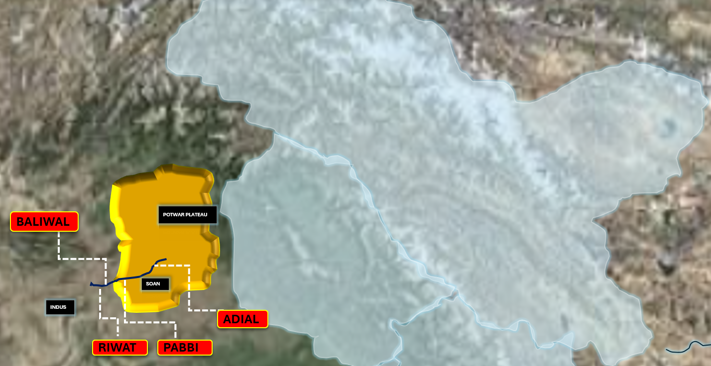
Question 2) Drag and Drop
Look carefully at the 3D terrain and find where each place belongs. Drag and drop each location onto the correct spot on the terrain.
Question 3) Solve the Mystery
Become a detective and use the clues carefully. Look at each clue, connect the information, and figure out the answer to solve the mystery.
Question 4) Place the Features
Look at the different features and decide where each one belongs. Drag and drop every feature into the correct box to complete the activity.
Question 5) Place the Paintings
Look at the different features and decide where each one belongs. Drag and drop every feature into the correct box to complete the activity.
Question 6) Match the Columns
Look at the items in both columns and carefully find the pairs that belong together. Match each item with the correct answer to complete the activity and see how many pairs you can identify correctly.
Question 7) Arrange the UNESCO World Heritage Sites: North to South
Look at the images carefully and arrange the UNESCO World Heritage Sites in the correct geographical order. Start with the northernmost site and continue toward the southernmost site.

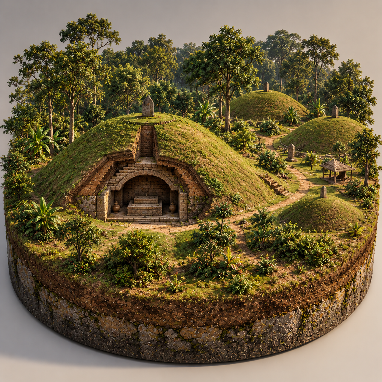
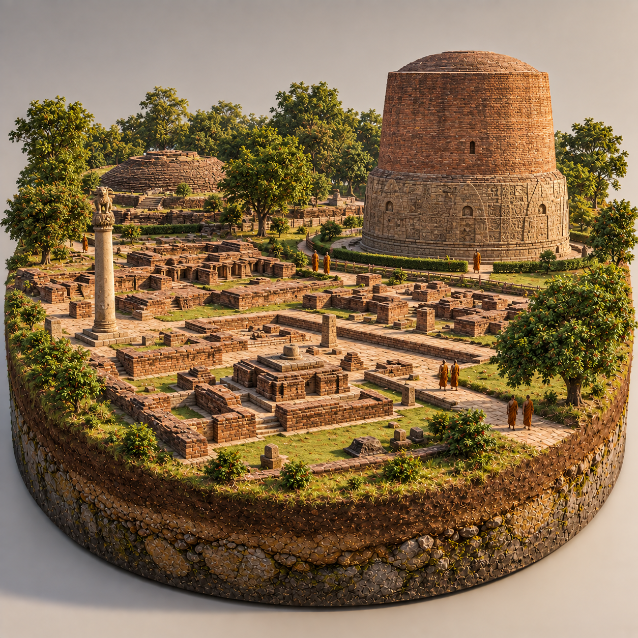
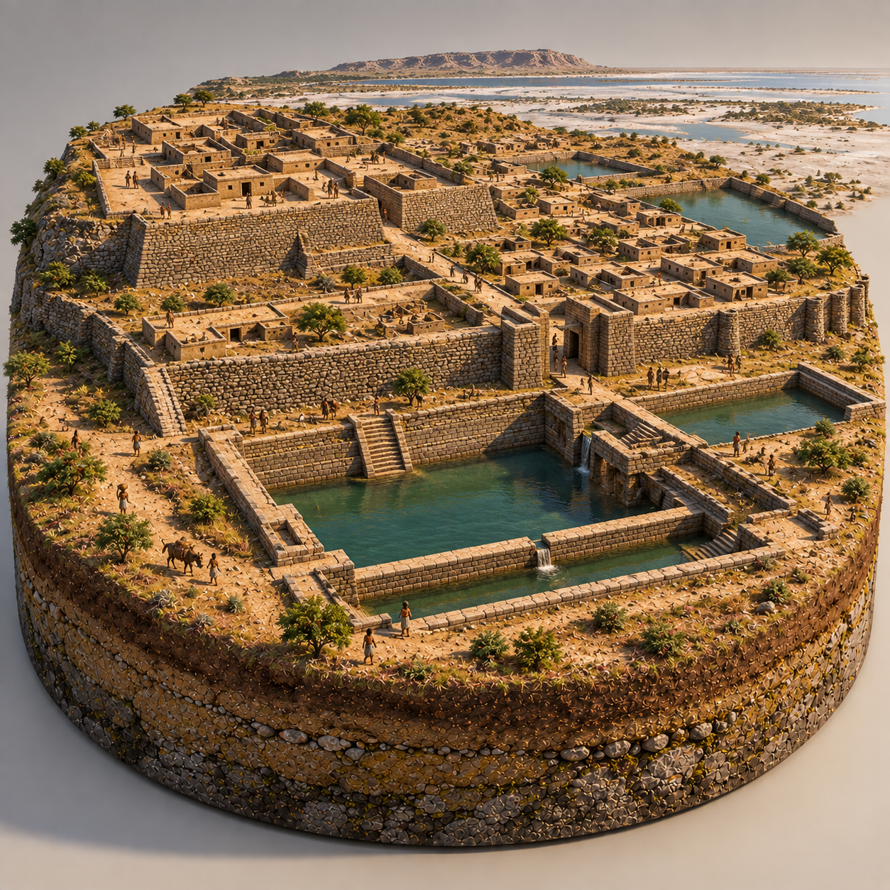
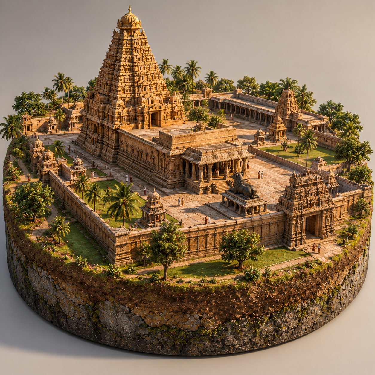
Question 8) Drag and Drop the Images
Look at each image carefully and drag it to the correct place. Match every image with the location where it belongs to complete the activity correctly.
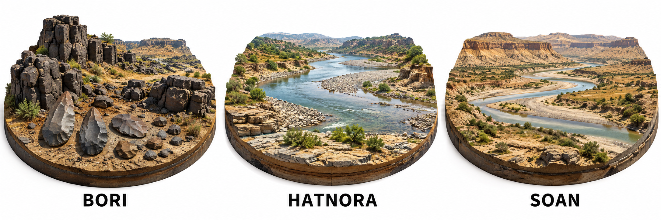



Question 9-19 )True or False
Read each statement carefully and decide whether it is True or False. Think about what you have learned, then select the correct answer for each statement.
Question 20 – 46 )Test Your Knowledge – MCQs
Read each question carefully and choose the one best answer from the options provided. Think about what you have learned and select the answer that you believe is correct.
With reference to Hatnora and Bhimbetka, consider the following statements:
- Hatnora is situated along the Narmada River.
- Hatnora is famous for the discovery of a prehistoric hominin calvarium.
- Bhimbetka contains both Lower Paleolithic evidence and prehistoric rock paintings.
- Bhimbetka itself is a UNESCO World Heritage Site.
Which of the statements given above are correct?
With reference to Attirampakkam, consider the following statements:
- It is located in Tamil Nadu.
- It lies in the Kortallayar River Basin.
- It is associated with one of the oldest securely dated Acheulian sequences in South Asia.
- The Group of Monuments at Mahabalipuram is a nearby UNESCO World Heritage Site.
Which of the statements given above are correct?
With reference to the prehistoric rock paintings of Lakhudiyar, consider the following statements:
- Lakhudiyar is located in the Kumaon Hills of Uttarakhand, on the banks of the Suyal River.
- The paintings include human figures, animal motifs and geometric patterns.
- The paintings were executed using colours such as black, red ochre and white.
- The site is located in the Vindhyan Hills of Madhya Pradesh.
Which of the statements given above are correct?
Consider the following statements regarding the human group depicted in the image:
- The species represented is Homo erectus.
- The group is living in a tropical environment.
- The group is associated with the use of stone tools.
- The group is shown occupying a natural rock shelter.
Which of the statements given above are correct?
Select the correct option after watching this video
- The species is Homo erectus.
- The location is a tropical region.
- The species is Australopithecus.
- The location is a temperate region.
1. Consider the following statements regarding the geographical basis of the Soanian culture:
- The Potwar Plateau lies between the Indus and Jhelum rivers.
- The Soan River created river terraces and gravel deposits that preserved stone tools.
- The Indus drainage system provided water, animal resources and routes through the landscape.
- Quartzite was an important raw material for Soanian stone tools
Consider the following statements about the Soanian and Attirampakkam stone-tool traditions:
- Soanian populations made extensive use of naturally rounded river cobbles.
- High-energy rivers contributed to the rounding of cobbles through prolonged abrasion.
- Attirampakkam had a lower-energy river environment in which stones were generally less rounded and more angular.
- The environmental difference contributed to greater reliance on bifacial handaxes at Attirampakkam.
Consider the following statements about the rivers of the Kashmir Himalayas:
-
The Lidder River flows through Pahalgam.
-
The Lidder River is a tributary of the Jhelum River.
-
The Jhelum River is part of the Indus river system.
-
The Indus River flows through Ladakh.
Consider the following statements:
-
The Ladakh Range is a part of the Trans-Himalayas.
-
The Zanskar Range is a part of the Trans-Himalayas.
-
The Satpura Range is a part of the Trans-Himalayas.
-
The Vindhya Range is a part of the Trans-Himalayas.
Consider the following statements regarding the geographical features of the Indus River System:
-
The Indus River originates in the Tibetan Plateau.
-
The Shyok River is a tributary of the Nubra River.
-
K2 is located in the Ladakh Range.
-
The Zanskar Range lies to the north of the Ladakh Range.
1. Consider the following statements regarding the Indus River System:
-
K2 is located in the Karakoram Range.
-
The Nubra River is a tributary of the Shyok River.
-
The Shyok River is a tributary of the Indus River.
-
The Zanskar Range lies to the north of the Ladakh Range.
2. Consider the following statements regarding the archaeological findings at Kuliana:
-
The site has yielded handaxes, cleavers, choppers and chopping tools.
-
Quartzite was the main material used for making stone tools, with some artefacts made of quartz and sandstone.
-
Human fossils of Homo erectus have been discovered at the site.
-
The site preserves evidence of the Lower Paleolithic, Middle Paleolithic, Upper Paleolithic and Mesolithic periods.
1. Consider the following statements about the geographical location of Kuliana:
-
Kuliana is located in Mayurbhanj district of Odisha.
-
The site lies in the Burhabalang River valley.
-
The Jarali and Ghunturu streams flow nearby.
-
The site is surrounded by the Aravalli Hills and the Vindhya Range.
With reference to Narmada Man, consider the following statements:
- It represents one of the significant early human fossil discoveries in the Indian subcontinent.
- The fossil was found in association with evidence of Lower Palaeolithic stone-tool traditions in the Narmada Valley.
- The discovery site of Hathnora lies in present-day Madhya Pradesh.
- The fossil provides definitive evidence that Homo erectus was the first hominin species to inhabit India.
Consider the following statements regarding Narmada Man:
- Narmada Man was discovered at Hathnora in the Narmada Valley of Madhya Pradesh.
- The fossil was discovered by Arun Sonakia in 1982.
- It is generally attributed to Homo erectus.
- Its archaeological context is associated with the Middle Palaeolithic.
In the above video we have Homo erectus
Consider the following statements regarding Homo erectus:
- Homo erectus lived approximately between 1.9 million and 110,000 years ago.
- Homo erectus appeared after Homo habilis in the human evolutionary sequence.
- Homo erectus created and used Acheulean tools, including handaxes and cleavers.
- There is no evidence whatsoever of Homo erectus in the Indian subcontinent.
Which of the statements given above are correct?
Consider the following statements about Lower Paleolithic landscapes and archaeological interpretation:
- Caves and rock shelters are archaeologically significant because repeated occupation can produce stratified deposits containing tools, animal remains and other traces of activity.
- Open-air Lower Paleolithic sites are of limited archaeological value because the absence of a protective roof generally prevents meaningful preservation of artifacts.
- Geological analysis is important in Lower Paleolithic archaeology because artifacts may have been transported, buried or displaced by natural sedimentary processes.
- The identification of ancient stone-working areas can provide evidence of technological activity even when there is little evidence for prolonged residential occupation.
Consider the following statements regarding the identification of Lower Paleolithic sites:
- The concentration of artifacts along ancient river systems may reflect both human preference for resource-rich environments and the subsequent role of fluvial processes in preserving archaeological material.
- River terraces are valuable archaeological contexts because their stratigraphic position can help relate artifacts to former phases of river development.
- The discovery of stone tools within a gravel deposit necessarily proves that the artifacts were manufactured at that location.
- The presence of suitable raw materials such as quartzite or chert near an archaeological site can help explain tool-making activity, but does not by itself establish that the recovered tools were made from those specific sources.
Q. Consider the following pairs regarding Lower Paleolithic archaeological contexts in India:
| Archaeological context | Likely significance |
|---|---|
| 1. River terraces | Potential preservation of artefact-bearing Pleistocene deposits |
| 2. Quartzite-bearing uplands | Availability of suitable raw material for tool manufacture |
| 3. Rock shelters | Potentially protected spaces for repeated occupation and preservation |
| 4. Active floodplains | Generally higher probability of finding undisturbed primary occupation surfaces |
Q. With reference to the apparent scarcity of Lower Paleolithic sites in the Indo-Gangetic Plains, consider the following statements:
- Repeated deposition of alluvial sediments may bury older occupation surfaces and lithic assemblages beneath younger layers, reducing their archaeological visibility.
- Frequent channel migration and sediment reworking can transport, scatter, or redeposit stone artefacts, thereby obscuring their original archaeological context.
- The relative scarcity of exposed bedrock and knappable raw-material sources in extensive stretches of the alluvial plains may have constrained the formation and visibility of lithic sites.
- The absence of extensive cave and rock-shelter systems across much of the plains means that fewer protected depositional environments are available for long-term preservation of archaeological remains.
- The scarcity of discovered sites establishes that Lower Paleolithic populations were largely absent from the Indo-Gangetic Plains, since buried artefacts would generally not survive under thick alluvial deposits.
Find the Errors in the Video on Homo Erectus at Attirampakkam
- Homo erectus is depicted using an almost modern-looking stone hammer.
- Attirampakkam is depicted as a lush tropical jungle.
- Homo erectus was not present at Attirampakkam.
- The hominin is actually a Neanderthal.
Open-Air Sites
Consider the following sites:
- Pahalgam
- Soan Valley
- Didwana
- Bhimbetka
Site and Location
Consider the following pairs:
- Bhimbetka — Madhya Pradesh
- Isampur — Karnataka
- Attirampakkam — Tamil Nadu
- Kalpi — Uttar Pradesh
Which of the pairs given above are correctly matched?
Q. With reference to the Bhimbetka Rock Shelters, consider the following statements:
- The rock shelters are associated with a long sequence of human occupation extending from the Lower Palaeolithic to later historical periods.
- The superimposition of paintings at several shelters provides important clues for establishing the relative chronology of different phases of rock art.
- The paintings include representations of hunting, animals, communal activities, warfare and processions, reflecting changing patterns of human society.
- The geological setting of the Vindhyan sandstone shelters contributed to their repeated occupation by providing naturally protected spaces as well as suitable surfaces for artistic expression.
Q. With reference to the Bhimbetka Rock Shelters, consider the following statements:
- The superimposition of paintings at Bhimbetka indicates repeated use of the same rock surfaces by communities belonging to different chronological phases.
- The rock art of Bhimbetka provides evidence not merely of hunting practices but also of changing technology, social life and human–environment interaction.
- The presence of depictions such as horses, weapons and processions indicates that the artistic tradition at Bhimbetka continued into the historic period.
- The archaeological significance of Bhimbetka is derived exclusively from its rock paintings, with little evidence of prolonged human occupation.
Q1. Consider the following statements regarding the Harappan Civilization:
- The Harappans developed an extensive system of standardized weights and measures.
- Lothal is associated with evidence of a large brick-lined structure often interpreted as a dockyard.
- Harappan cities generally lacked planned drainage systems.
- The Harappans used a script that has been conclusively deciphered.